
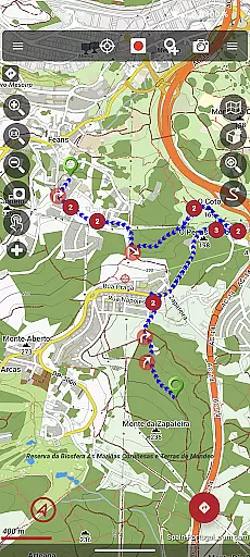
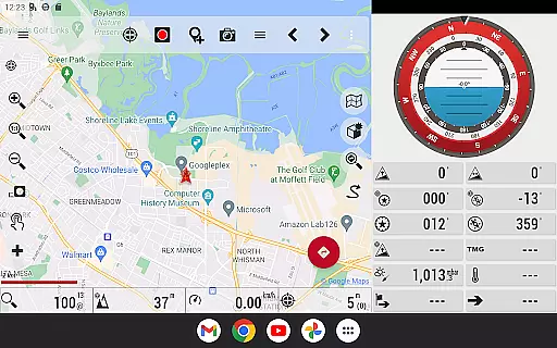
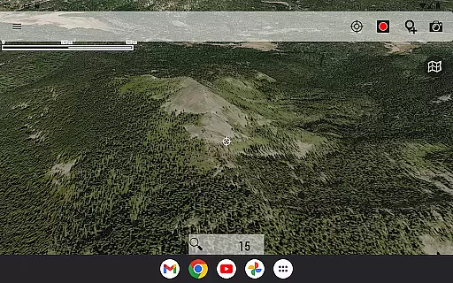
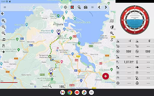
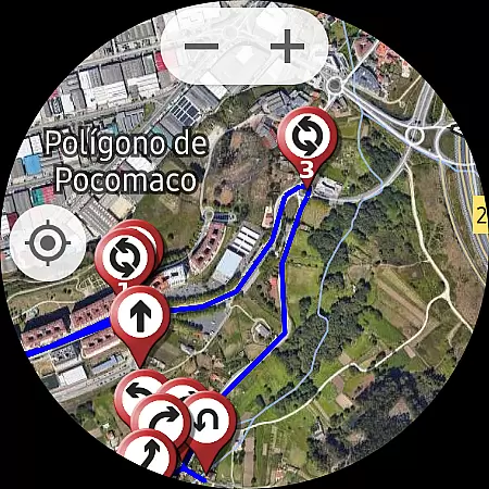
OruxMaps GP is a versatile outdoor navigation application designed for travelers, hikers, and outdoor enthusiasts. This app offers both online and offline map viewing capabilities, supporting various map formats such as GeoPDF, GeoTIFF, .ozf2, .img (with limited Garmin support), .mbtiles, and more. Users can access maps through WMS and WMTS protocols, download maps for offline use, and even utilize premium services like Mapbox and Google Maps with a subscription.
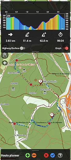
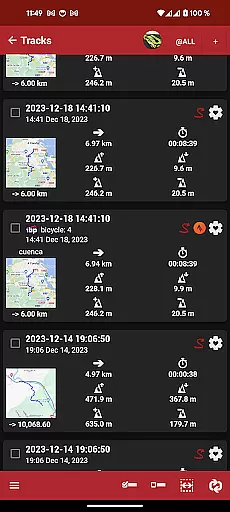
The application supports multiple external devices including GPS units, heart rate monitors, bike sensors, and ANT+ compatible equipment. It also features functionality for nautical sports through AIS information systems. With comprehensive route management, users can view, create, and share routes in formats like KML, KMZ, TCX, FIT, CSV, SHP, and GPX. Additional features include geofencing alarms, waypoint creation with multimedia attachments, and basic geocaching support.
OruxMaps GP is particularly useful for those engaging in activities such as hiking, cycling, or sailing, where reliable offline mapping and device integration are crucial. The app's ability to correct altitudes using DEM files and its track editor tool make it an invaluable resource for accurate trip planning and execution.
OruxMaps GP stands out with its extensive feature set tailored for outdoor navigation. One of its key strengths is the support for multiple map formats and the ability to function offline, which is critical in areas with limited connectivity. The app allows users to download maps from various sources, though not all maps are downloadable, prompting users to select alternative sources when necessary.
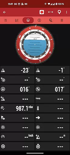
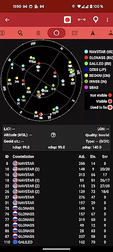
Device compatibility is another major feature, with support for external GPS devices, heart rate monitors, bike cadence and speed sensors, and power meters. The inclusion of Bluetooth Smart 4.0 support ensures modern device compatibility. For water-based activities, OruxMaps GP connects to AIS systems via Wifi, Bluetooth, or USB, enhancing safety and navigation for nautical sports.
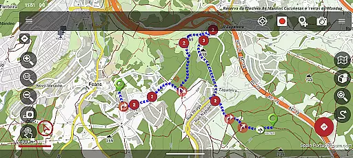
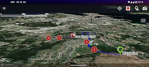
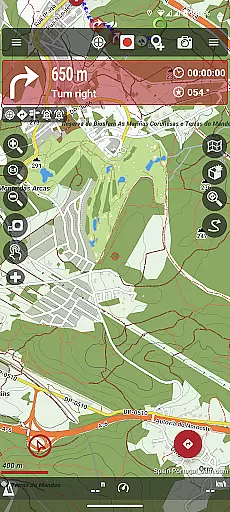
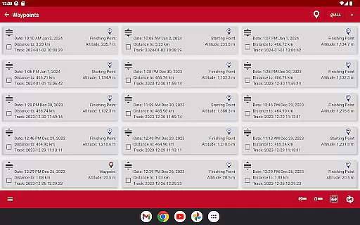
Route management is highly detailed, allowing users to follow routes with proximity alerts, create geofence alarms, and save waypoints with multimedia attachments. The app also provides tools for altitude correction using offline DEM files or online services, and includes a track editor for modifying track points. These features collectively ensure that users have precise control over their navigation data, making OruxMaps GP a powerful tool for outdoor adventures.
Booking authenticity is a crucial feature for travel applications like OruxMaps GP. This ensures that all reservations and bookings made through the app are legitimate and trustworthy.
OruxMaps GP provides users with reliable booking options for various outdoor activities. The app supports multiple map formats, including GeoPDF, GeoTIFF, and .mbtiles, ensuring that users have access to accurate and verified maps for their adventures.
Users can download online maps for offline use, which guarantees that they have access to necessary navigation data even without an internet connection. This feature enhances the authenticity of bookings by allowing users to prepare for trips without worrying about connectivity issues.
The app also integrates with external devices such as GPS and heart rate monitors, providing additional layers of verification and safety during outdoor activities. By supporting these devices, OruxMaps GP ensures that users can trust the information provided, making their bookings and plans more authentic and reliable.
Price transparency is essential for users to understand the costs associated with their outdoor activities planned using OruxMaps GP. This feature ensures that users are fully aware of any expenses related to map downloads or subscriptions.
OruxMaps GP offers various map viewing options, including WMS and WMTS online maps. While some maps are available for free, others might require a subscription. The app clearly outlines these options, helping users make informed decisions about which maps to use based on cost and necessity.
Additionally, the app allows users to register into OruxMaps servers, though it is not mandatory. If users choose to register, they are informed about what personal data will be stored and how it will be used. This openness about data handling reflects the app's commitment to price and policy transparency.
By offering detailed information about potential costs and data usage, OruxMaps GP empowers users to plan their activities confidently, knowing exactly what they are paying for and why. This transparency builds trust and enhances user satisfaction with the app.
User-friendly interface
Extensive format support
Offline functionality
Device integration
Comprehensive route tools
Premium maps require subscription
Limited Garmin support
Complex for beginners
Not all maps downloadable
Resource-intensive

Book rooms at any of 4.2M properties worldwide. Find flight deals every day!
 4.60
4.60
Learn about one of the most famous Victorian cemeteries in the world
2.80
View current Montana road conditions, cameras, plows, and timelapse videos.
4.70
Listen live to pilots and air traffic controllers around the world
3.80
Get all MTA services, Subway, Bus, LIRR, Metro-North and More all in one place.
4.60
Tickets, hotels, wait times, maps, mobile ordering, Disney PhotoPass & more
4.50
Vacationing on CARNIVAL? Maximize your fun on board with the ultimate cruise app
4.60
Rent the perfect car for wherever you’re going
4.90
Book your whole trip in one app.
4.80
The United app puts valuable travel information in the palm of your hand.
4.70
Book now to save with exclusive travel deals on hotels, flights, cars & packages
4.70
Navigation on hikes is no longer a problem. Download the map, put notes and go!
4.60
Get the app that knows where you’re going - view your flight, check in & more
4.50
Take your pick from over 5 million accommodation deals from major booking sites.
4.40
MyTSA gives you 24/7 access to info that passengers frequently request from TSA.
4.10
Real-time flight tracking with live maps and flight status updates.
3.70
A Camino de Santiago Guidebook from St. Jean Pied de Port to Santiago
3.60
Everything you need for your trip in one place with the Volaris app.
3.60
Locate and navigate to local holiday displays
4.3


User Reviews