
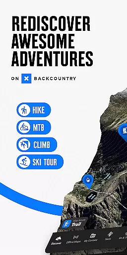
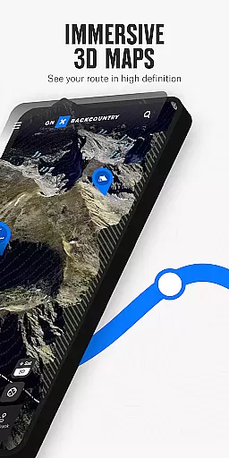
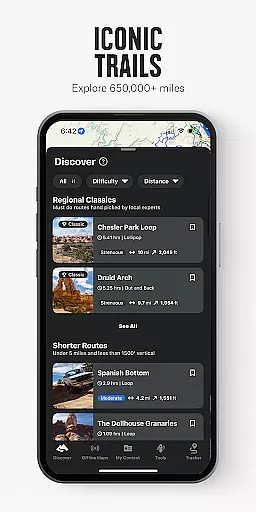
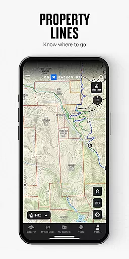
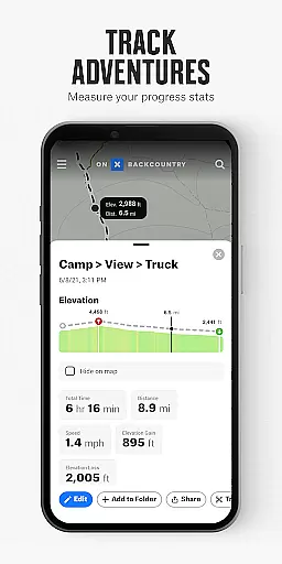
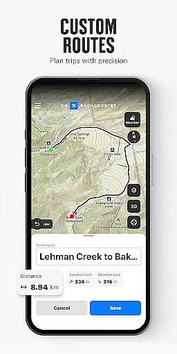
onX Backcountry Trail Maps GPS is a comprehensive outdoor navigation app designed for hiking, skiing, mountain biking, and climbing enthusiasts. The app provides users with HD topographic maps, 3D map views, and satellite imagery to help them explore new trails and backcountry terrains confidently. With offline capabilities, users can download maps and access interactive trail data without cell coverage, ensuring uninterrupted adventures.
The app's powerful features include GPS tracking, customizable Waypoints, and detailed Slope data, allowing users to plan their routes meticulously. Whether you're measuring distance and elevation or checking localized weather forecasts, onX Backcountry equips you with the tools needed for safe and informed outdoor exploration. Its multi-mode functionality supports various activities, making it an essential companion for all-season adventurers.
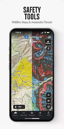
onX Backcountry stands out with its robust set of features tailored for outdoor pursuits. Users can visualize terrains in 3D, create custom routes using snap-to-trail technology, and toggle between different map layers such as wildfires or avalanches. The app also offers specialized modes for hiking, skiing, mountain biking, and climbing, each equipped with activity-specific data like trail difficulty, slope angles, and real-time GPS tracking.
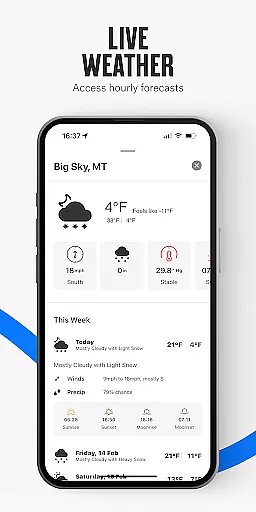
One of the key highlights is its offline functionality, enabling users to download maps and track their location without internet access. Additionally, the app provides critical safety information, including localized weather conditions, air quality layers, and user-submitted trail reports. These features ensure that adventurers can scout ahead, stay safe, and make the most of their trips regardless of connectivity issues.
onX Backcountry stands out for its exceptional gameplay realism and physics accuracy, which are crucial for outdoor enthusiasts. The app provides HD topographic maps, 3D maps, and satellite imagery that accurately represent real-world terrains. This level of detail ensures users can trust the map data when navigating through hikes, climbing routes, and mountain bike trails.
The precision in representing slope angles, trail lengths, and elevation gains reflects a deep understanding of outdoor sports dynamics. Users can plan their activities with confidence, knowing that the information provided is reliable and meticulously calculated. This feature is particularly important for backcountry skiing and snowboarding, where accurate slope data can be a matter of safety.
Moreover, onX Backcountry's snap-to-trail feature and GPS tracking enhance the authenticity of the experience. These tools allow adventurers to follow pre-planned routes or create custom paths while receiving real-time feedback on their location and progress. The ability to measure distance and elevation accurately adds another layer of realism to the user's outdoor pursuits.
Ultimately, the app's dedication to providing trustworthy data and powerful map tools translates into an immersive and realistic outdoor adventure planning experience. Whether scouting new terrain or exploring familiar landscapes, users benefit from the high degree of accuracy and attention to detail that onX Backcountry offers.
The control scheme intuitiveness of onX Backcountry is designed to make navigation and trip planning as seamless as possible. With a user-friendly interface, the app allows outdoor enthusiasts to easily toggle between different map layers, such as topographic, satellite, and hybrid views. This flexibility enables users to choose the most suitable visualization for their specific activity, whether it's hiking, skiing, mountain biking, or rock climbing.
Setting waypoints and reviewing critical data like slope angle and aspect is straightforward, thanks to the app's intuitive design. Users can quickly access localized weather conditions, 7-day forecasts, and hourly wind data without any hassle. The inclusion of hazard layers for wildfires, avalanches, and air quality further demonstrates the app's commitment to user safety and preparedness.
Additionally, onX Backcountry's offline capabilities ensure that adventurers can rely on the app even in areas without cell coverage. By downloading 3D maps with interactive trail data, users can track their location and follow their path using the blue dot feature. This ease of use extends to measuring key trip stats and viewing elevation gains in real time, enhancing the overall user experience.
In summary, onX Backcountry excels in delivering an intuitive control scheme that empowers users to focus on their adventures rather than the technology. Its thoughtful design and robust features make it an indispensable tool for anyone passionate about exploring the great outdoors.
Comprehensive map data
Offline GPS functionality
Activity-specific modes
Detailed weather forecasts
User-friendly interface
Premium subscription required
Occasional lag in map loading
Limited international maps
Advanced features need learning
High storage requirements

Basketball dunking fun !
 4.50
4.50
Draft your NBA basketball game team. Authentic real-time online sports game.
4.20
Old-School Football
4.40
Build and play your own team! Baseball at your fingertips! BASEBALL NINE!
4.60
Play T20 Cricket World Cup 2025. Real matches, offline & tournament mode!
4.4
The ultimate skateboarding sim
4.20
Play football like it's 1987! Classic retro arcade action and franchise mode.
4.60
Solunar Fishing Times by Fishingreminder.com
4.80
Mika Football App, Live scores, news, match insights & player info!
4.20
Quick-fire archery duels! Play the most realistic 3D archery game now!
4.70
Feel combo thrills in Challenge! Aim, strategize, and master your billiard skill
4.60
Let's play catch and throwing game!
4.60
Extreme bike tricks at your fingertips!
4.50
Feel the thrill of American football: guide a team to triumph through touchdowns
4.40
Battle, grow, and conquer in an epic fight to become the boss!
4.30
NEOGEO's masterpiece game is now available in the app!
4.20
Play the 3 classic Duck Life games like you've never seen them before!
4.10
The Hudl app helps coaches and athletes win using video.
3.70
An easy-to-use app for sports team communication and logistics
3.20


User Reviews